Premium
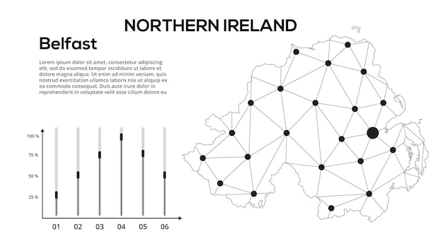
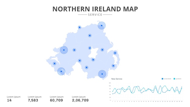
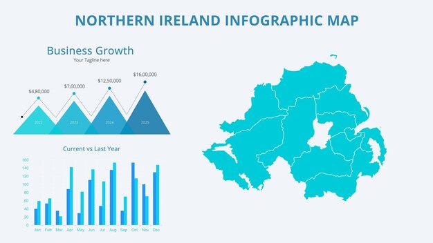
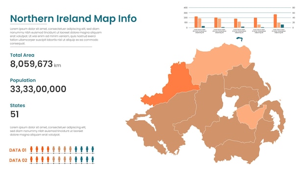
Northern Ireland communication network map Vector image of a low poly global map with city lights Map in the form of lines and dots
zajchenka240488


- ışık
- arka plan
- line
- modern
- Avrupa
- ülke
- tasarım
- abstrakt
- bölge
- yaratıcı
- fütüristik
- teknoloji
- bölge
- grafik
- simbol
- illüstrasyon
- point
- konsept
- devlet
- bayrak
- geometrik
- ağ
- iletişim
- sınır
- yolculuk
- topluluk
- cumhuriyet
- harita
- nüfus
- bağlantı
- kontur
- elektrik
- ülke
- ulusal
- kartografi
- şekil
- dijital
- seçim
- grid
- internet
- telekomunikasyon
- coğrafya
- siber uzay
- zaman çizgisi
- oylama
- statistikler
- bilgisayar
- infografik
- Kuzey İrlanda
- infografik